The day starts with early tea approximately at 7.30am then simple breakfast will be served in local lodge, the trek start around 8.30 am, trek last for minimum 3 hrs before lunch break, after Lunch the trek continue for another 2/ 3/hrs
During the trek, our experienced trek guide lead the group, the Sherpas will take care the baggage for the whole journey.
Itinerary:
DAY 1: Arrival in Kathmandu
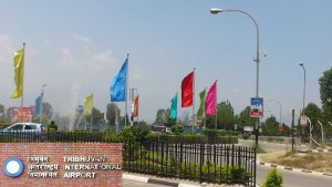
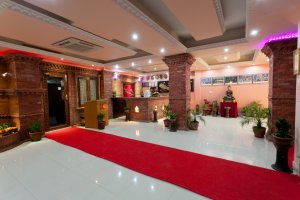
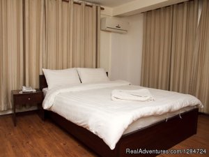
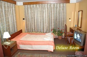
Our airport representative will meet you at the Kathmandu airport then arrange the necessary transfer to the hotel. For this trek we select a centrally located 3-star hotel in the city and leave the rest of the evening for you to explore the city
DAY 2: Sightseeing in Kathmandu
Today our professional tour guide will bring you to visit the major monuments and cultural attractions of the Kathmandu valley, most notably the Kathmandu Darbar square and Swyambhunath Stupa. In the evening we will use the time to prepare for our final trekking departure.
DAY 3: Kathmandu to Bahundanda (1305m/5hrs)
Today we drive along the Kathmandu-Pokhara highway to Dumre and then follow a narrow and paved road by the Marsyangdi River to Besi Sahar. After Lunch at Besishaar we continue our drive to Nagdi and then walk for two hours to reach Bahundanda.
DAY 4: Trek Bahundanda to Chamje (1410m)
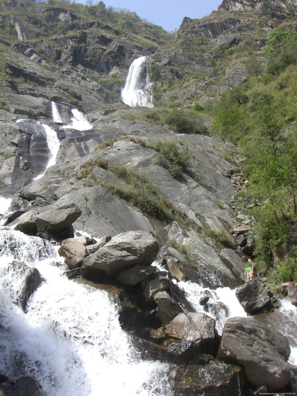
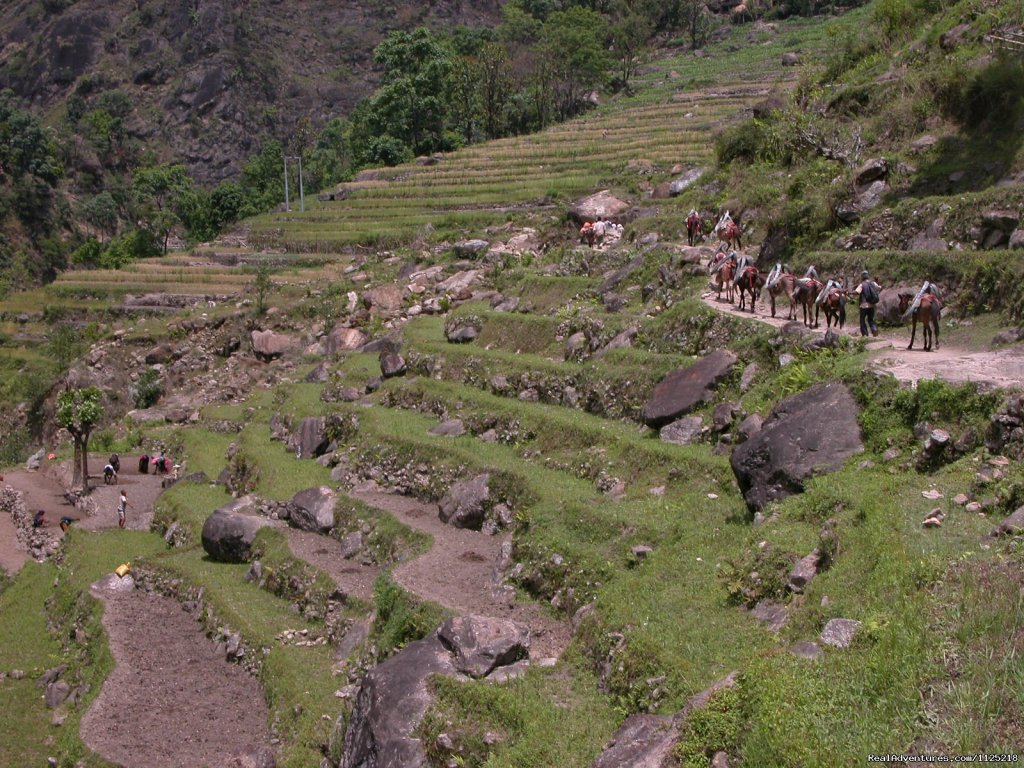
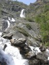
A steep trail descends for nearly half an hour and then follows a flat path through rice terraces, before crossing a stream at the bottom of a small waterfall. The trail then climbs again and traverses the hillside high above the river before reaching the village of Lali Gaon. Ahead, the Marsyangdi Valley forms a steep V-shape, and we follow the winding mountain path down through Syange (1100m) where there is a beautiful waterfall above it and along the river for some distance. The trail then climbs steeply and the path is cut into the sheer cliff-face some 200-300 meters above the riverbed. Eventually we descend to the stone village of Jagat (1330m) situated on a shelf, which juts into the precipitous Marsyangdi Valley. Now the trail begins to observe small ups and down to Chamje through the forests.
DAY 5: Trek Chamje to Dharapani (1960m)
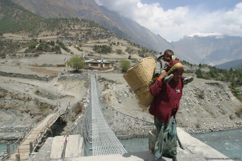
The first part of the trail descends to the river and after crossing a suspension bridge, we begin a climb to Sattale (1550m) on a path so steep that it seems one slip would send you hurtling down into the valley. From there we continue on an undulating path above the river, and at one point, where a tributary flows in from the opposite bank, the main river becomes covered with huge boulders that hide the water. Climbing the zigzag path to the top of the hill, we see the level, plain of Tal extend before us. Though cliffs enclose it, the level area looks reassuring after the harrowing mountain paths we just traveled. From there we descend to a grassy riverbank, which leads to Tal with its hotels and teahouses. Beyond Tal, the valley narrows and the path becomes high and winding and in several areas hewn from the rock itself. Beyond the small village of Karte (1900m), there is a bit more cliff walking before the path drops again to the river. Finally to reach our camp we cross a suspension bridge, and climb the short distance to the stone kani marking the entrance to Dharapani (1960m) the location where we camp for the night.
DAY 6: Trek Dharapani to Chame (2675m)
As you cut through a narrow field from the village, the Dudh Khola, which originates from the south face of Manaslu, enters on the opposite bank. The Marsyangdi then veers to the left, and as Annapurna II becomes visible ahead, you arrive at Bagarchhap, a Bhote village with prayer flags fluttering in the breeze around the Buddhist monastery. From there we continue to trek through forests of pine and oak until we pass through Danaque at 2210 meters. Here we come to a small wooden bridge which takes you to follow a steep ascending path up to Timang. The bridge lies at the bottom of Lamajung Himal. The trail then goes through a flat level area until we reach Chame where there are government offices, shops, and hotels. Chame is the administrative headquarters for the Manang district.
DAY 7: Trek Chame to Pisang (3150m/5hrs)
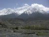
With Lamjung Himal (6893m) sparkling in the morning sun, we set off for Pisang. The mountain disappears as we climb the path up the valley, passing a huge apple orchard along the way. From there we continue through a fir and pine forest, climbing to a high, rocky area as the opposite bank becomes an impassable cliff. From this point the valley becomes extremely steep on both sides as we follow the path to Bhratang (2950m). In the past this was the military station for troops who fought against the Khampa tribal revolution, but the dilapidated buildings are all that remains of that era. A short climb from the village brings us to a rock-strewn area where you cross a wooden bridge and follow a high, winding path, before crossing back to the right bank again. We now walk through a pine forest and as the forest ends, the valley changes from a V-shape to a gentle U-shape, opening up a wonderful vista before us. From here we can see the east peak of Annapurna II as well as Pisang Peak (6091m) to the northeast. Continuing on, we come to a long mani wall by a bridge and the lower village of Pisang.
DAY 8: Trek Pisang to Manang (3440m)
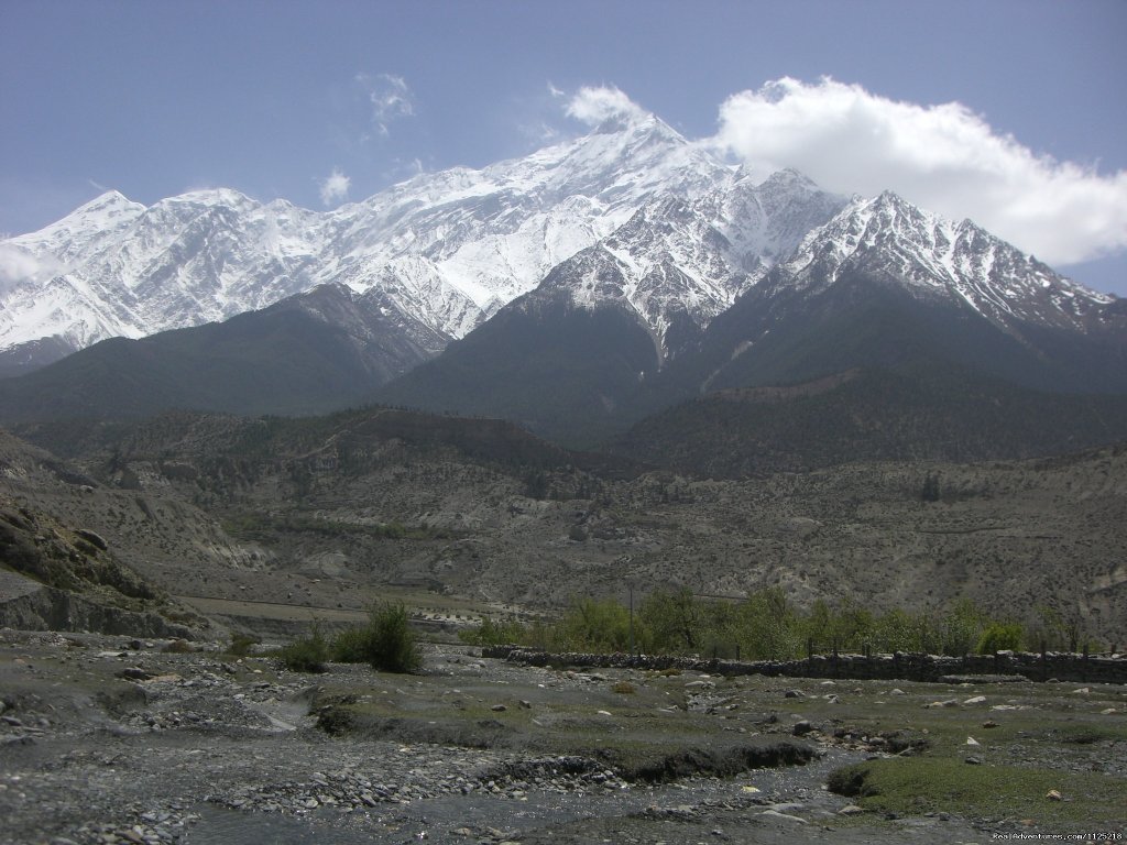
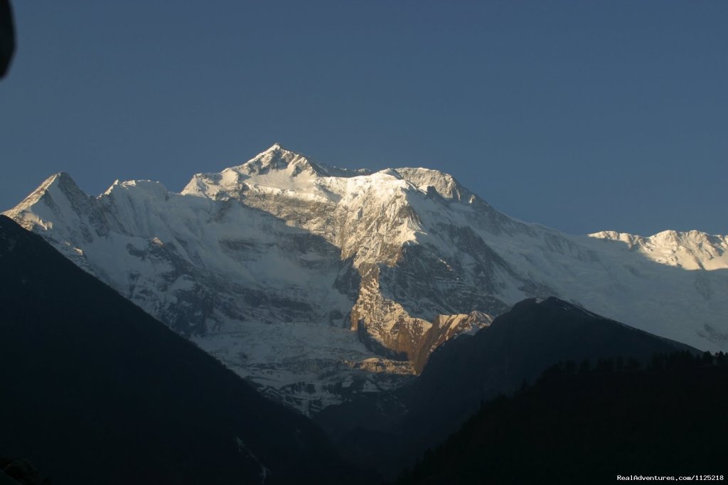
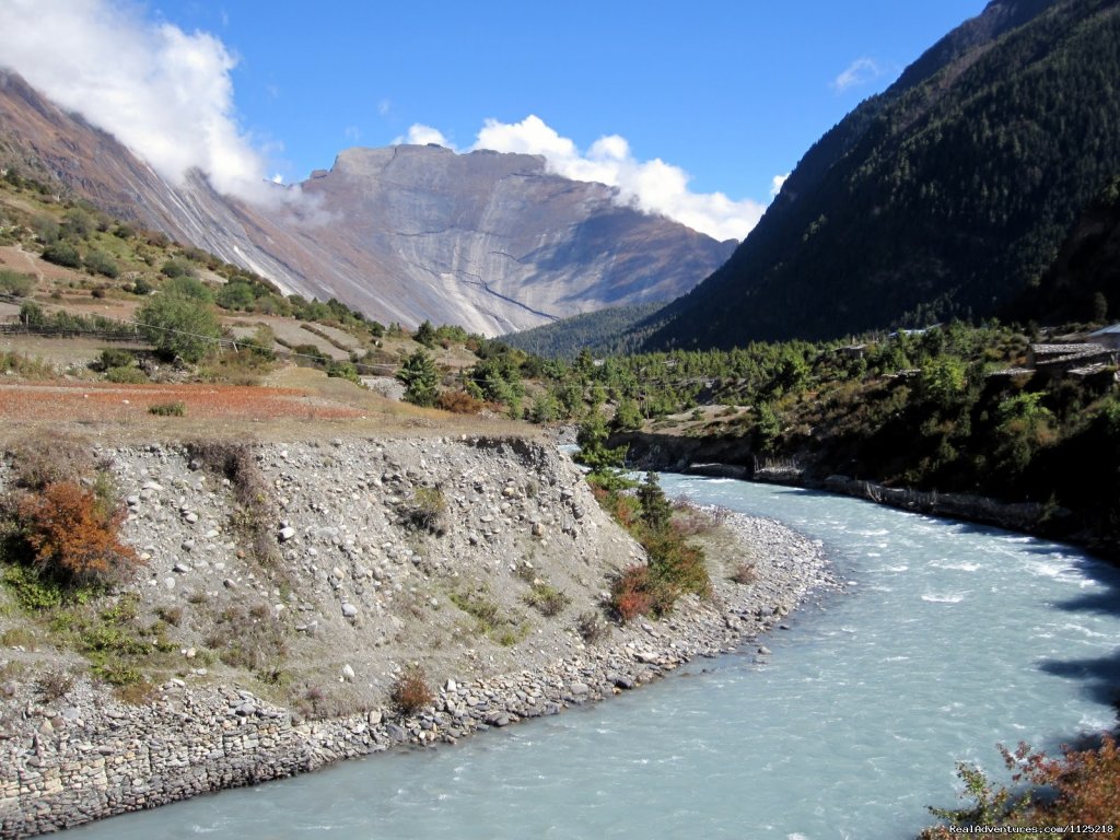
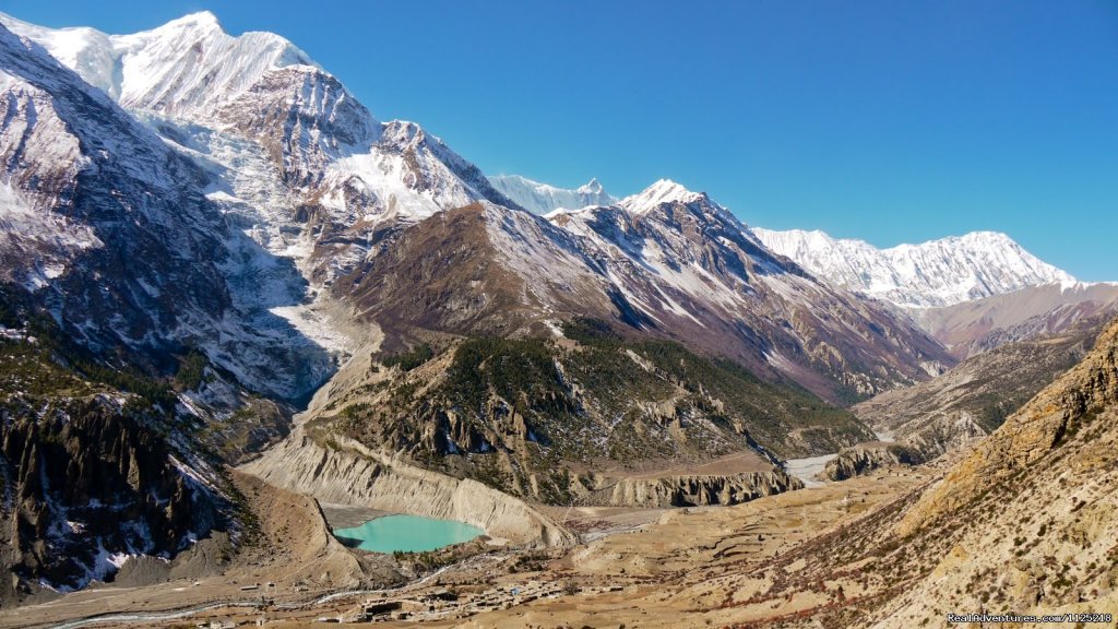
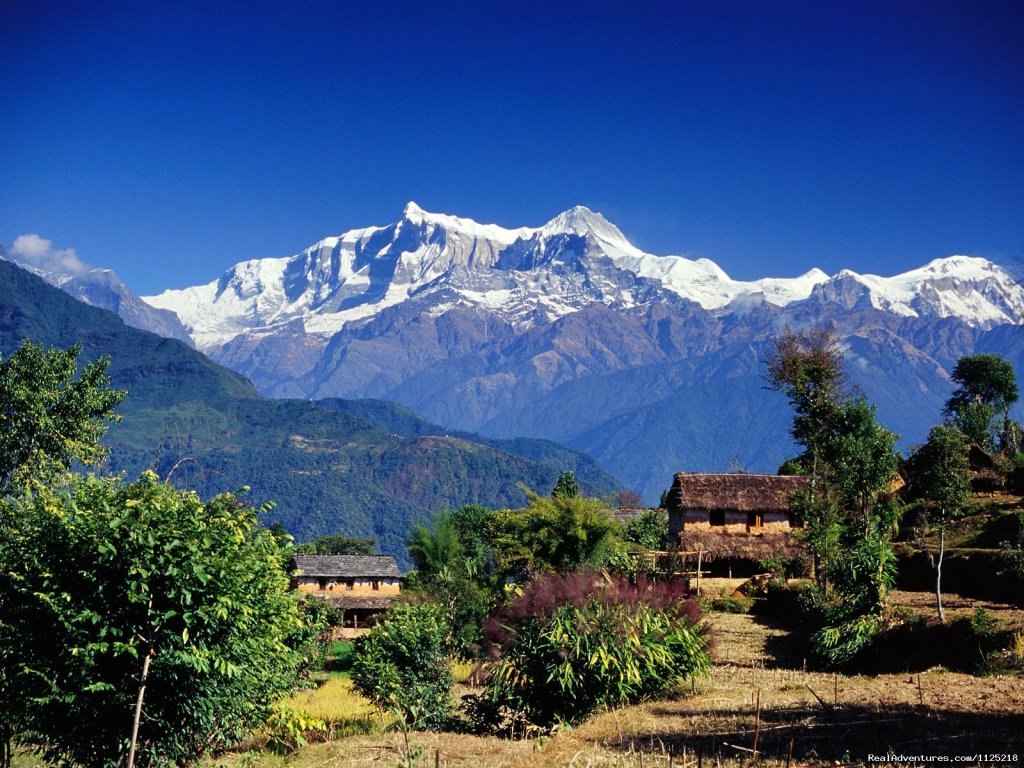
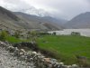
Beyond Pisang, the trail climbs a steep ridge, which affords good views of the Manang Valley and Tilicho Peak (7145m). Descending past Manang's airstrip at Hongde (3320m.), we come to a level area where the northeast face of Annapurna III rises majestically above you. From the wide plains of the Sabje Khola Valley, Annapurna IV (7525m) also becomes visible. Just beyond this point we cross the considerably reduced flow of the Marsyangdi Khola via a wooden bridge to the tiny village of Mungji. Cultivated fields appear on both sides of the path and off to the right, below a craggy mountain, you can see the village of Bryaga with its splendid monastery. Large chortens and mani walls abound and the tall peaks of the Himalaya spread out before us - Annapurna II, Annapurna III, Annapurna IV, Gangapurna (7455m) and, to the rear, Tilicho Peak (7145m). After a short steep climb you reach Manang, which is a surprisingly large village for this remote mountain region. You camp here for the night, amidst the fluttering prayer flags, which adorn the houses.
DAY 9: Acclimatization day in Manang
Today we spend the day acclimatizing in splendid Manang.
DAY 10: Trek from Manang to Yak Kharka (3900m)
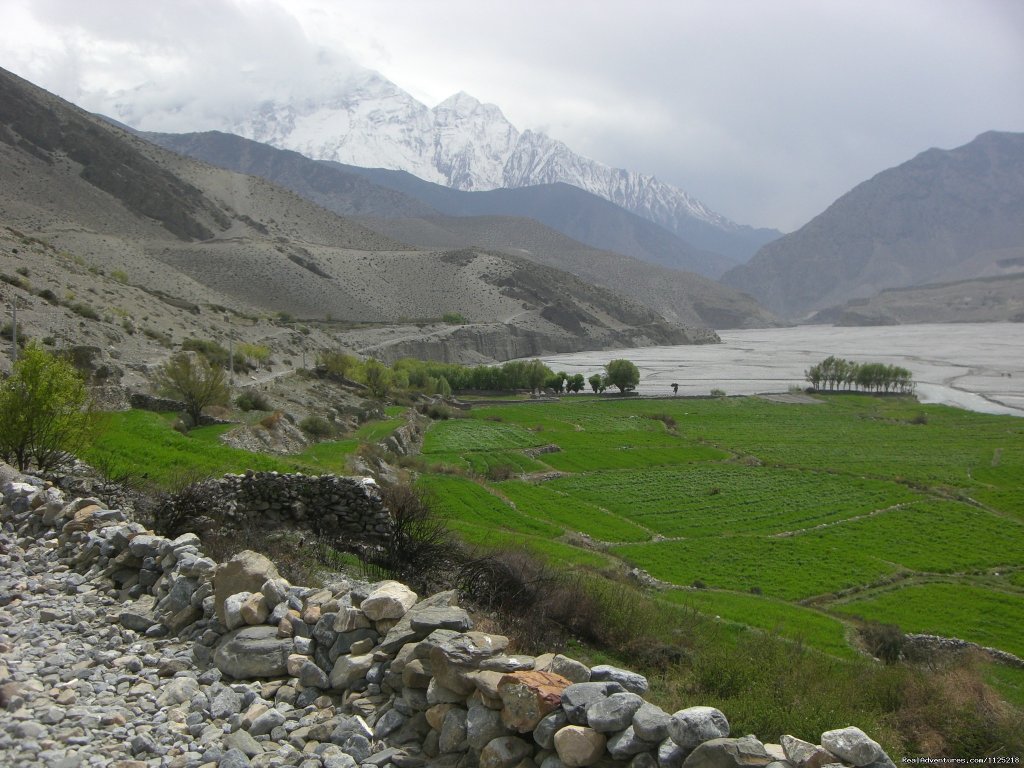
Now the trail ascends gently all the way to Yak Kharka passing through the village of Gunsang (3960m). En route, we can see the amazing panoramic views all the day. The trek follows the Marshyangdi river gorge through lush fields of paddy then to the high arid
DAY 11: Trek from Yak Kharka to Thorong Phedi (4420m)
Leaving Yak Kharka, we climb gradually to a ridge before descending to the headwaters of the Marsyangdi to cross via a covered wooden bridge. After a short ascent up the mountain path on the right bank, we follow a narrow trail across an unstable spree slope and then descend to Thorung Phedi.
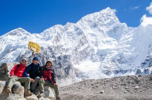
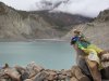
DAY 12: Trek Thorong Phedi to Muktinath (3850m) via Thorong La
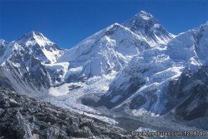
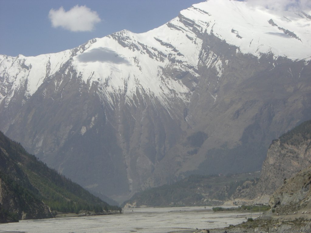
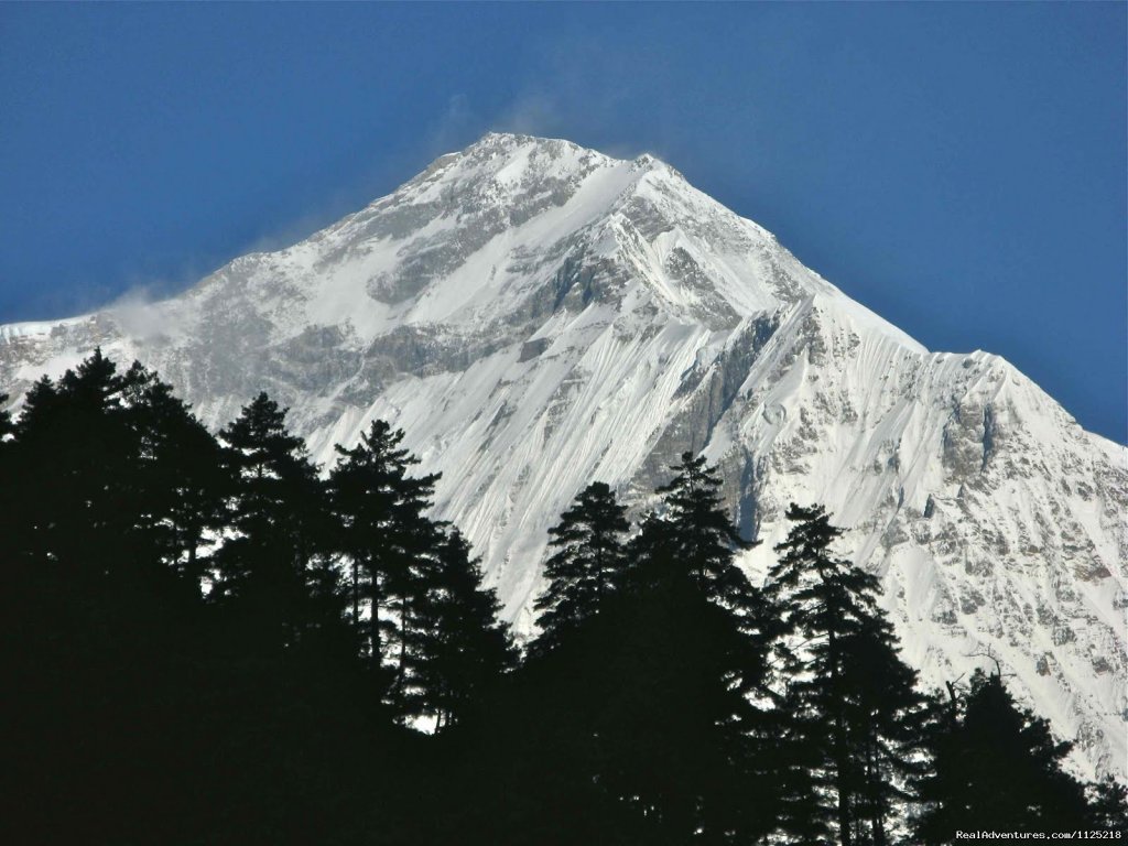
Today we start early to cross Thorung La (5416m). The trail becomes steep immediately after leaving camp but local people have used this trail for hundreds of years making the path well defined. The gradient then eases and after around 4 hours of steady climbing, we reach the chorten and prayer flags of the pass. The views are dramatic to say the least, from the snow-covered mountains above, to the head of the Kali Gandaki valley below and the brown and purple hills of Mustang, which are spread out before us. The descent to Muktinath is a knee pounding 1600m but the time passes quickly with excellent views of Dhaulagiri. Eventually the moraines give way to grassy slopes before a pleasant walk along the Jhong Khola Valley to Muktinath and its shrines and temple.
DAY 13: Trek Muktinath to Kagbeni (2895 m/3hrs)
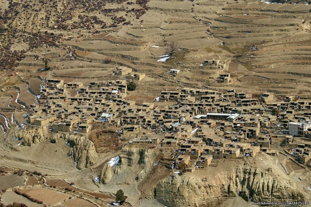
You now begin the descent down the dramatic Kali Gandaki Gorge, initially through arid country in the same geographical and climatic zone as Tibet. After passing through Jharkot and Khingar villages with their typical Tibetan architecture, we follow a steep path down to Kagbeni, a primitive village famous for Tibetan architecture. People living there follow the Tibetan customs and traditions. Here a monastery is situated that is said to date to back to the 15th Century. Kagbeni is also along the border of Upper Mustang.
DAY 14: Trek Kagbeni to Marpha (2650m)
Today we begin to travel along the flat path on the bank of the dramatic Kali Gandaki Gorge until we reach Marpha. Marpha is a large village filled with a Buddhist Monastery in between the village which has its own cultural importance. It is also rich in cultivating apples. The apple brandy available there is famous among the locals and travelers alike.
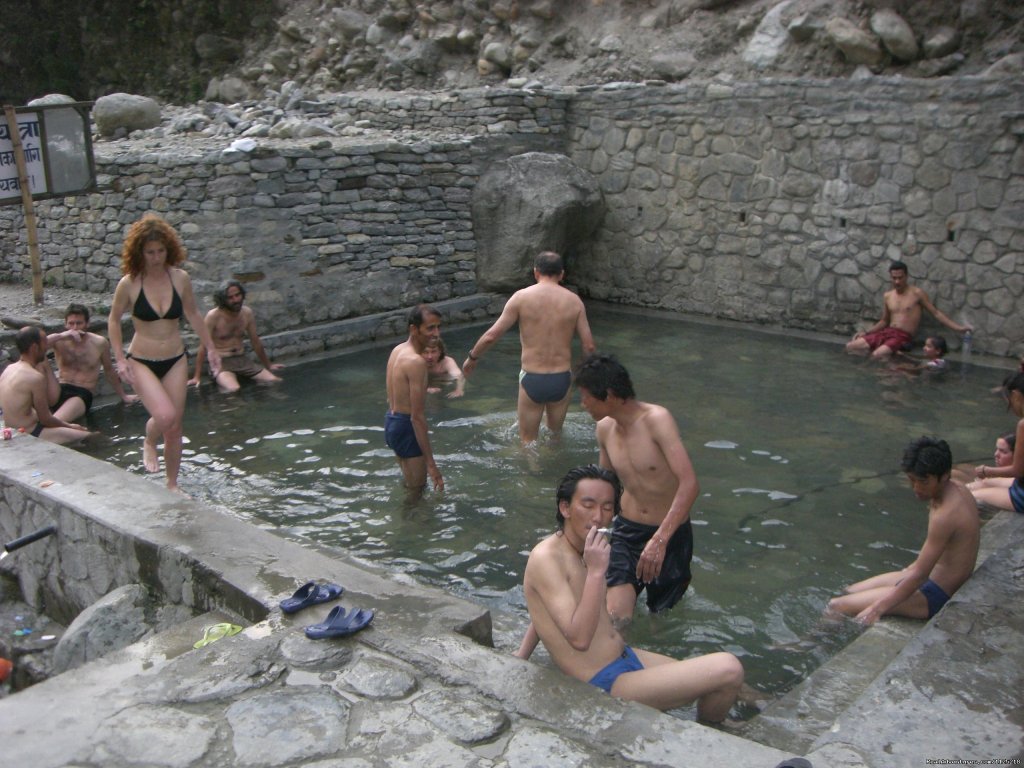
DAY 15: Marpha to Tatopani
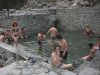
Today we take a four wheel drive vehicle as there is already a road here. Tatopani is a natural hot-spring at the riverbed of Kaligandaki where we can relax sitting for the day.
DAY 16: Trek Tatopani to Ghorepani (2853 m)
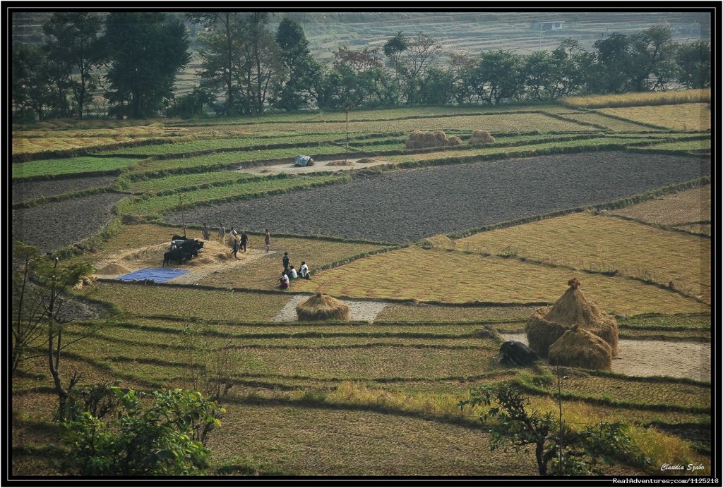
Today the trail passes through a flat level of the land for a distance. Then the trail begins ascending steeply for at least one hour. Today the path goes up through different villages inhabited by the people of different castes and agricultural land. The majority of the people here serve Gorkha Regiment and Indian Regiment as well. While trekking you cross through the Kali Gandaki river with panormic view of Dhaulagiri and Annapurna ranges.
DAY 17: Trek Ghorepani to Hille (1430m)
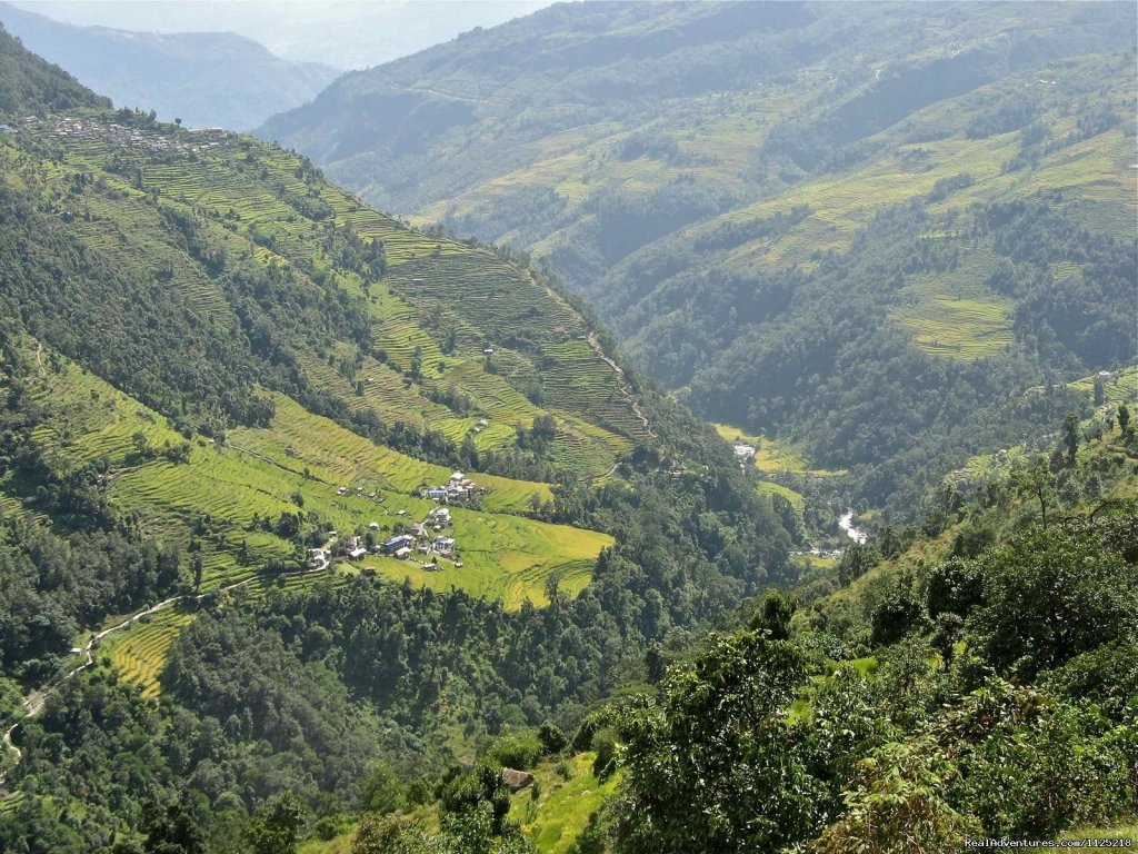
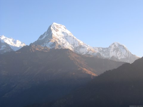
Today we take an early morning trip to the top of Poon Hill (3232m) to enjoy the sunrise view over Mt. Dhaulagiri, Tukuche Peak, Nilgiri, Varaha Shikhar, Mt. Annapurna I, Annapurna South, Annapurna III, Machhapuchhre, Annapurna IV, Annapurna II, Lamjung Himal and other numerous snowcapped mountain peaks. After breakfast, we follow a gradually descending path through the forests of rhododendron and oak upto Banthanti. It is a small village where we break for hot and cold drinks. Then the trail descends to Ulleri (1960m), a big Gurung village from where we can enjoy the view of Annapurna South, Machhapuchhre and Hiunchuli. From here the trail up to Tirkhedhunga descends steeply passing terraces and some villages along the way. After a short walk of 15 minutes from Tirkhedhunga, we reach Hille. There is also a small Gurung village with surrounding green hills. Most of the inhabitants of this village are occupied in agriculture.
DAY 18: Trek from Hille to Nayapul and then Pokhara
This day's trek gradually descends following Bhurung Khola (Bhurung Stream) all the way to Birethanti before we cross the Modi Khola over the suspension bridge. We pass by amazing small villages to see the magnificent waterfalls and walk through the sparse forests nearby.
DAY 19: Drive to Kathmandu
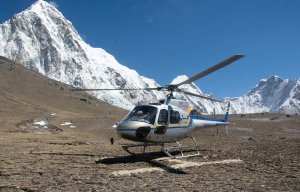
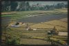
Today we head up to Damauli, Dumre, Muglin and Kurintar where Nepal's first cable car is operates to reach Manakamana Temple. En route, you could enjoy the mountain views, green sceneries, rice terrace fields, vegetable fields and people being engaged in their daily life activities. From Naubishe you climb up to Thankot, the gateway to the capital city. You can also fly from Pokhara to Kathmandu which takes about 25 minutes
DAY 20: Airport transfer
Our airport representative will transfer you to the airport at the right time for your departure.
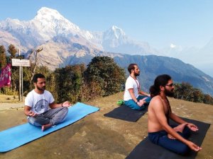
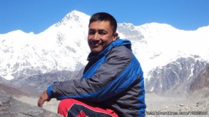
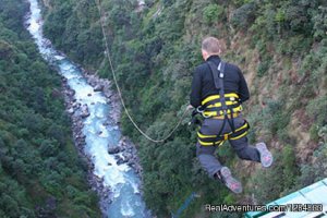
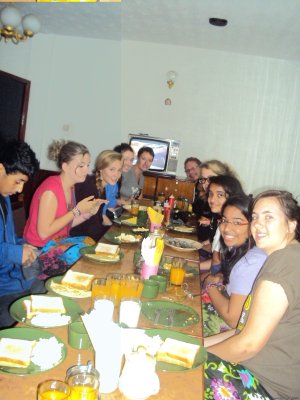
 Group photo after throung la pass at phedi (enlarge)